Course information
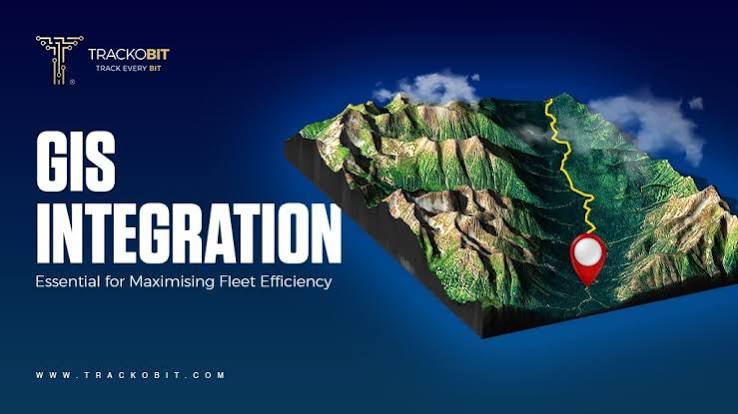
Intergrating GIS
Key Focus Areas: API and web service integration, spatial database management (e.g., PostGIS, Enterprise Geodatabases), ETL pipeline design, and linking GIS with ERP/CRM platforms.
GIS AND REMOTE SENSING
Learn how to connect spatial location data with mainstream business and IT systems in our GIS Integration course. Designed for IT professionals, database administrators, and geospatial specialists, this practical training focuses on breaking down data silos by linking Geographic Information Systems (GIS) with enterprise software, cloud databases, and real-time data feeds to drive streamlined operational workflows.
Buru Buru Business Complex Mumias South Road, Suite M26
+254 020 2594918
info@chromafrica.co.ke



Stay informed with the latest updates, exclusive scientific insights, and upcoming training opportunities delivered straight to your inbox